Insight
Publish date
27 February 2020
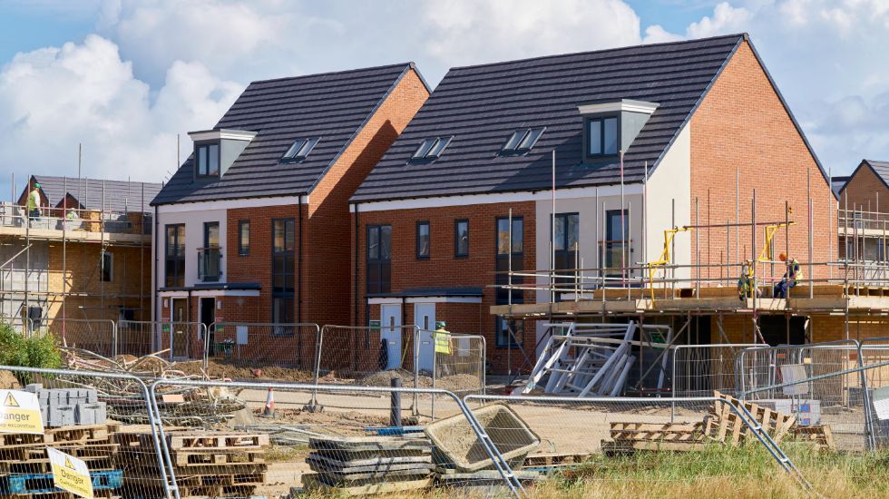
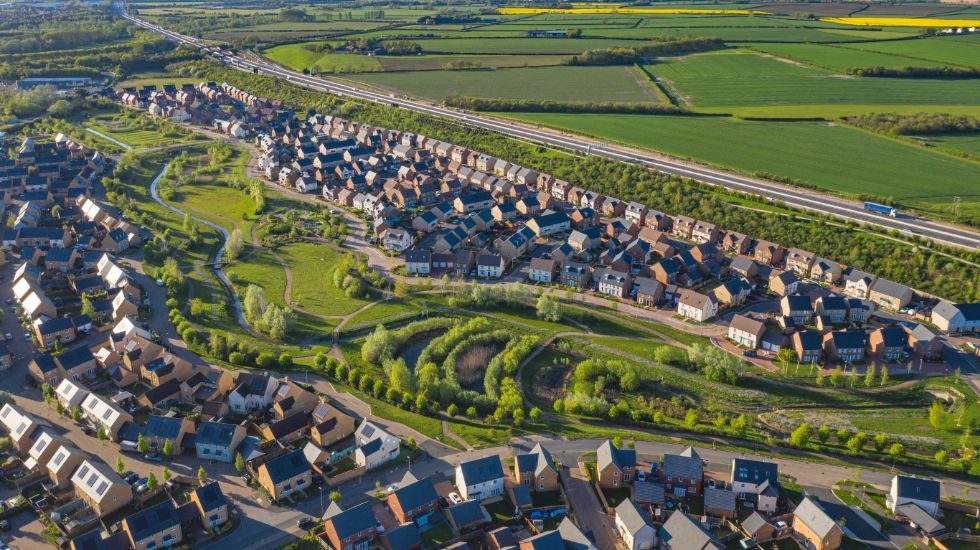
The concept of Green Belts is a national planning policy aimed at maintaining a protective buffer of countryside (for agriculture, outdoor leisure etc) around certain urban areas. With the increasing demand for building space, Green Belt policy has become highly criticised and the tension between wanting to maintain areas as open countryside and provide society with adequate building space (especially for residential development) has caused much debate in recent years.
The most important attribute of the Green Belt is its “openness“, a characteristic which is supposed to symbolise the Green Belt but which has been criticised for being ambiguous and difficult for local planning authorities to interpret.
To maintain Green Belt areas as “countryside” and to retain their openness developments are generally prohibited (or considered “inappropriate”) unless one of the National Planning Policy Framework exceptions applies. There are a number of types of development which are automatically considered appropriate in the Green Belt under national policy. The following developments, however, are only considered appropriate exceptions if they preserve the Green Belt’s openness and do not conflict with the overall purpose of including land within the Green Belts:
But what is “openness”?
Insight was provided recently in the Supreme Court case in R (Samuel Smith Old Brewery (Tadcaster) and others) v North Yorkshire County Council [2020] UKSC 3.
Darlington Quarries applied to North Yorkshire County Council for planning permission to extend the operational face of their limestone quarry by an additional 1.5 kilometers. The quarry was situated in the South and West Yorkshire Green Belt.
The Council initially granted the planning permission, but Samuel Smith Old Brewery and Oxton Farm brought judicial review proceedings against the decision to grant planning permission. The Court of Appeal held that in considering the openness of the Green Belt, the Council’s planning officer should have considered the visual impact of the development but did not and so the court consequently quashed the planning permission.
The Supreme Court, however, disagreed. It believed that “the visual quality” of the landscape is not in itself an essential part of the openness which Green Belt policy seeks to protect. Lord Carnwath said the concept of “openness” was a broad policy concept. “It is naturally read as referring back to the underlying aim of Green Belt policy, to prevent urban sprawl by keeping land permanently open.” However, in this instance, there was evidence that the visual impact of the development had been considered by the Council and that this fell far short of being so obviously material that failure to address it expressly was an error of law.
What does this mean in practice?
Planners are advised to provide detailed reasons for their recommendations, with special attention to openness and whether they consider visual quality to be important or not.
Visual impact may, in certain situations, be a relevant factor but it is not a mandatory consideration. With this new clarification, local authorities may feel more confident in granting consent for future development previously considered inappropriate because it was deemed to impact detrimentally the visual quality of the Green Belt.